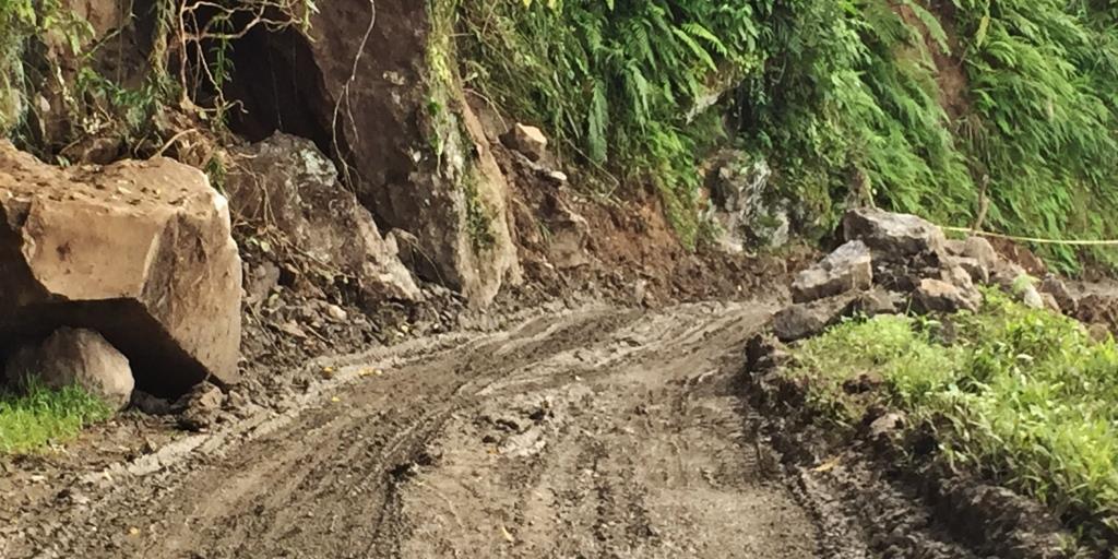
This is a route I will advise the faint-hearted not to take. There are no phone signals in 85% of the route, the roads are non-existent in many parts, necessitating traversing thru narrow, muddy edge-of-mountain roads. There are many stretches where the concrete roads are still good, but they suddenly disappear after the trip, one will remember only the narrow, muddy terrain.
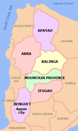
Kalinga and Abra are two provinces within the Cordillera Administrative Region, which also includes Apayao, Benguet, Ifugao, and Mountain Province.

The Cordillera Administrative Region encompasses most of the Central Cordillera, the largest mountain range in the country, occupying half of Northern Luzon. It is both the highest and the single largest mass of mountains in the entire Philippine archipelago.Because of its mountainous topography the region has been referred to as the “Watershed Cradle of North Luzon”
The only landlocked region in the country, it is bordered by the the Ilocos region in the west and southwest, by the Cagayan Valley on the north, east, by Isabela in the southeast, and by Pangasinan and Nueva Vizcaya in the south. It is the least populated region in the country, and is home to numerous indigenous tribes such as the Kalingan, Isneg, Tinggian, Ifugaos, Kankanaeys, Ibaloy, Bontoc, Bago, Illian, Baliwon and many others. Collectively they are called Igorots.
But despite being centrally located between between the much-visited Ilocos Region and the high-tourist-traffic Cagayan Valley which is popular for centuries old churches and exotic beaches , the provinces in the Cordilleras have limited entry points from neighboring towns and cities due to its topographic configuration mostly of steep slopes and mountain ranges. Abra is accessed via Vigan, Benguet via La Union, Apayao, Kalinga, and Mountain province via the eastern Cagayan Valley and Isabela.
Yet, this unique topography of mountains, valleys and rivers make the region a must-visit for travelers seeking adventure and wanting to soak in a different culture one can only experience by meeting ethnic people from the hinterlands.
HOW I DECIDED ON THIS ROUTE
On hindsight, I should not have taken a so unfamiliar route. But then maybe something in me craved for the uncertain. The sense of adventure started when I did the Apayao-Kalinga route, another road less traveled. Normally, travelers would exit from Apayao from Luna town to Cagayan Valley, and enter Kalinga from there, via Tuguegarao. Instead, I took the mountain road to Kalinga, with traveler friends either advising me against it or warning me of the treacherous road, and that I must take extreme caution.
But then again, maybe I just have a taste for roads that pose a challenge. I went from Baler once to Manila via Bongabon, even while I could take the easy Pantabangan way. Yet, the lure of rugges roads in the rainforests thrilled me, so I drove my 4×4 then tru shallow rivers. On my last drive to this route, it is still beautiful, but now less exciting because the roads are now mostly paved.
And have you tried going to Baler from Nueva Vizcaya, via Quirino? That was also some experience.
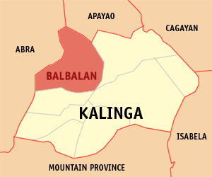
I checked with locals. They said the route to Abra is via Balbalan. So some route exists. And it is only 173.5 kilometers. Hmmmm.

So here I am, wanting to go to Abra via another road less traveled. My friends actually said maybe it is “roadless travel” when I told them about it.
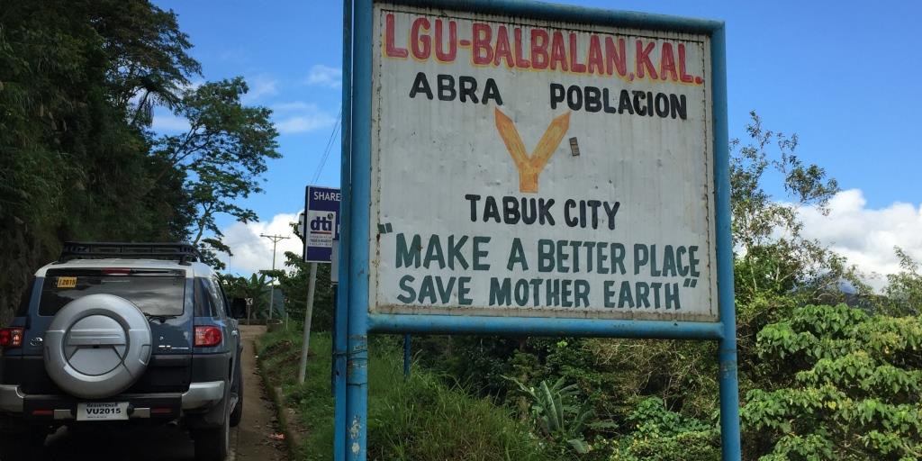
START POINT: KALINGA
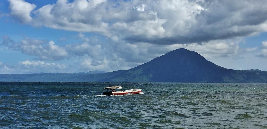
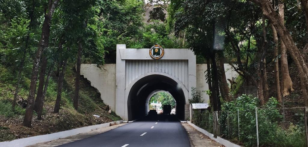
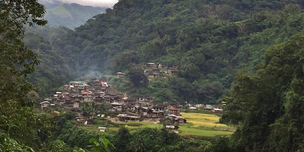
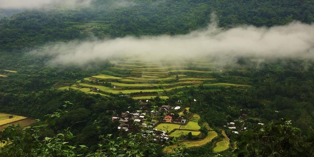
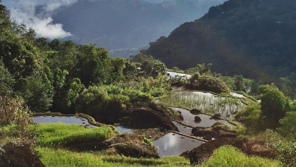
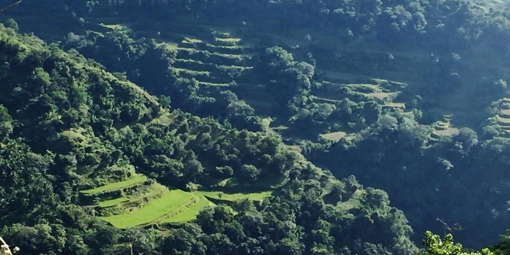
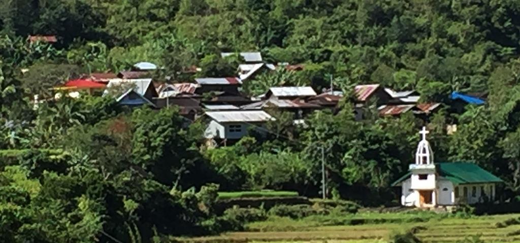
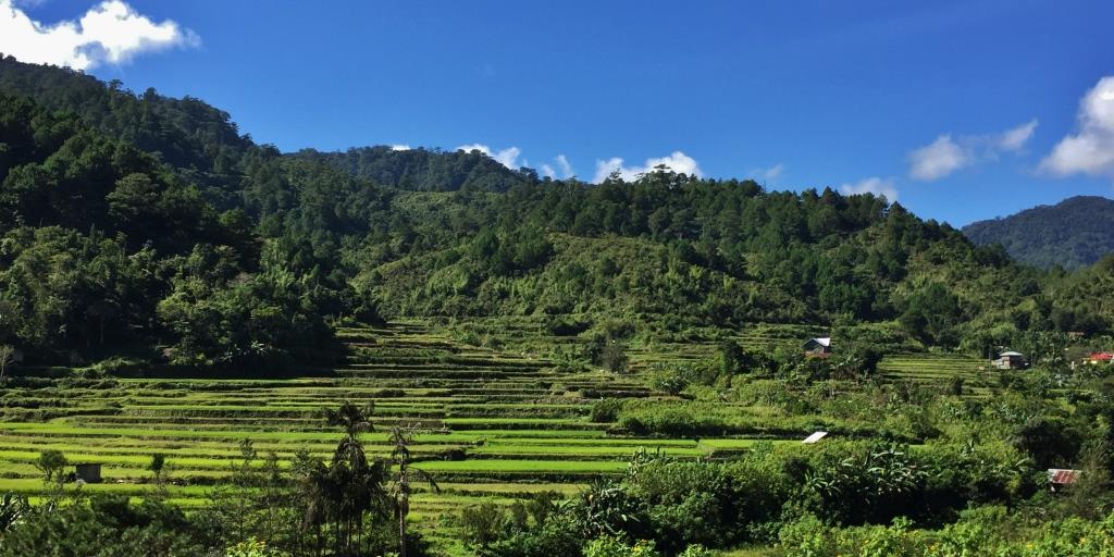
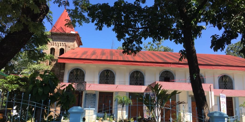
Kalinga province has rugged and sloping terrain, with mountains soaring to 2,500 meters. On its western side, which is on the route to its neighboring province of Abra, are sharp, rugged, inter-linking peaks of steep slopes, plateaus and valleys, and rainforests. There are numerous rice terraces to awe visitors in the towns of Pasil and Balbalan.

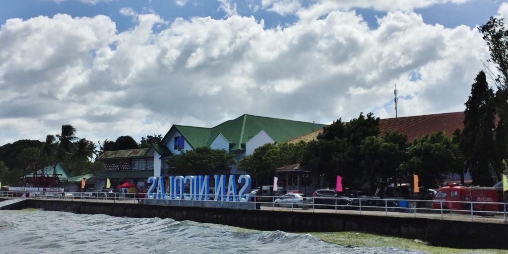
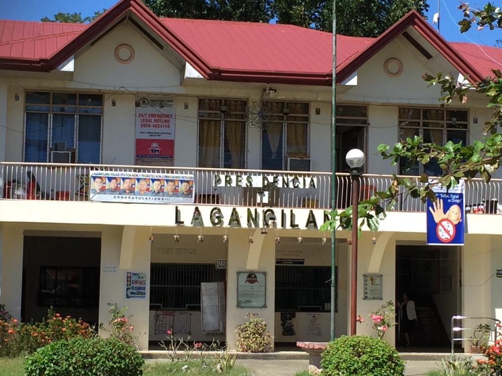
Tabuk City Hall, Kalinga
DESTINATION: ABRA

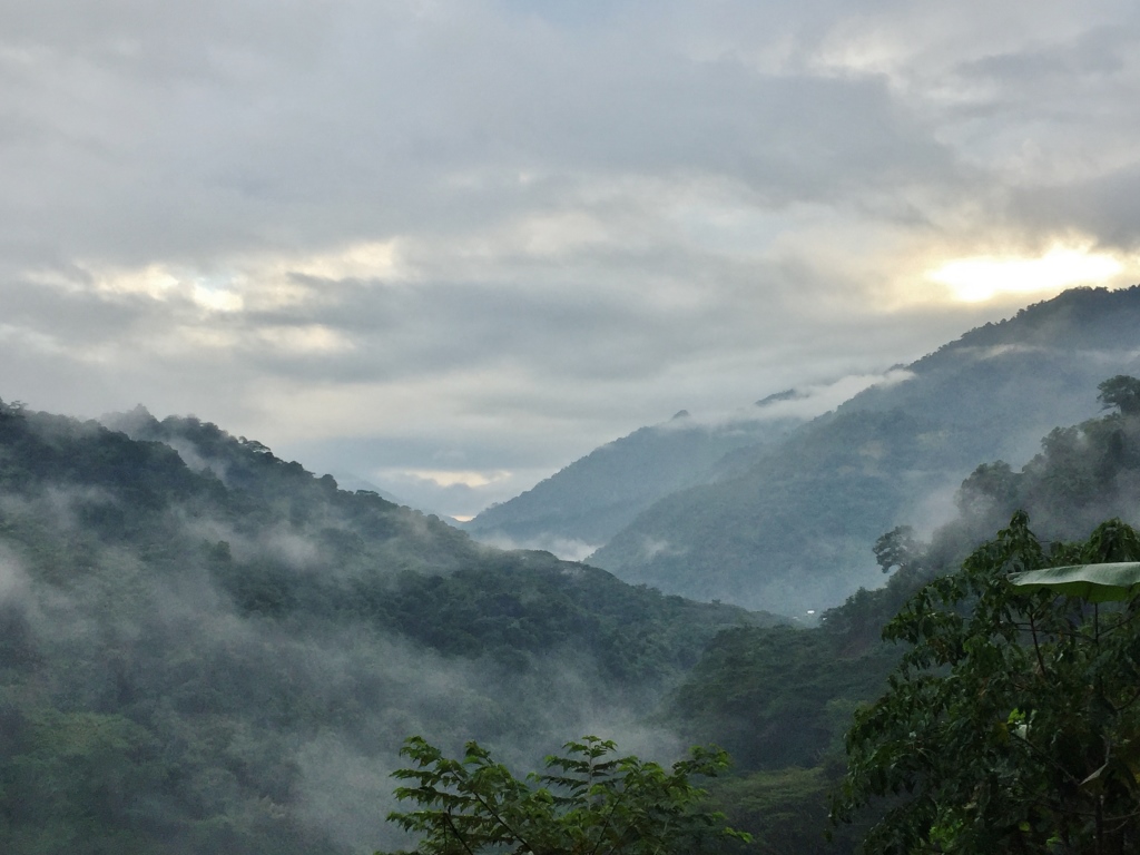
Abra is on the Western side of the massive Cordillera in Northern Luzon. Its deep valleys and sloping hills are enclosed by rugged mountains, except in the western portion where the Abra River flows towards the coastal plains of Ilocos Sur. These rugged mountains are shared with the boundaries of the province of Kalinga.
TRAVEL SUMMARY:
At the end of my travel, I reassured friends who knew I was taking this route with a facebook post describing the adventure.
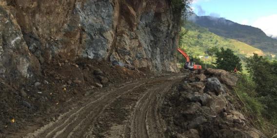
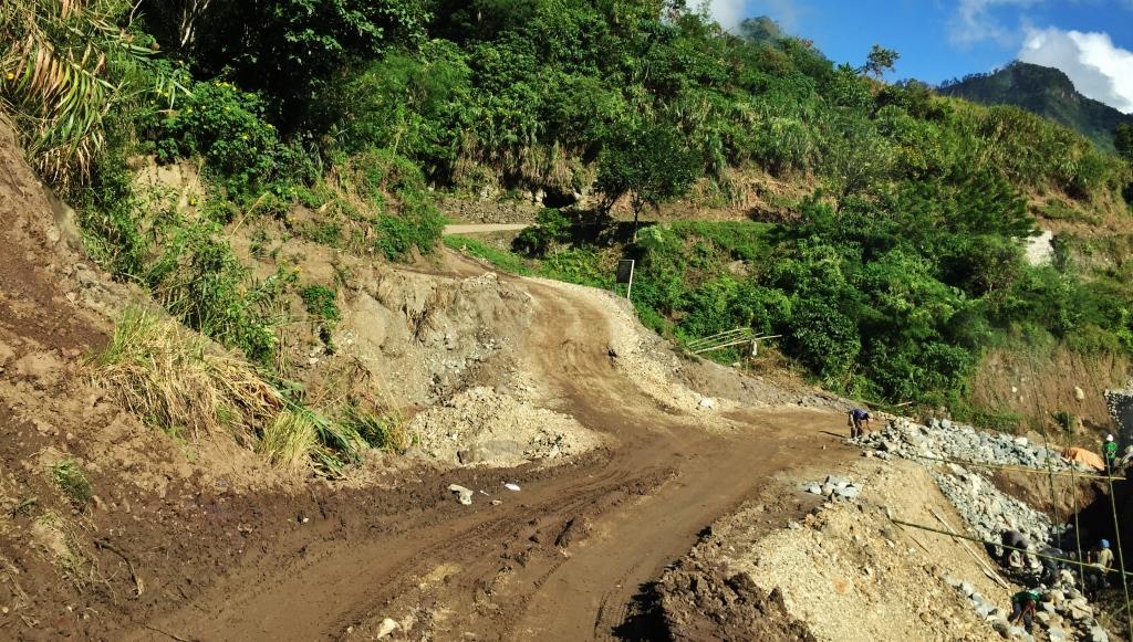
Route not recommended. I am probably just so adventurous, and foolish ( hehehe). And because I knew my 4×4 can handle the road. Total of 6 hours with maybe cumulative 30 minutes spread in different spots with mobile connection. Too many unpaved, very muddy roads on long stretches. Landslides in too many spots I stopped counting at 100. Too many portions where half of the road has nothing under the concrete – – the land must have been washed away. There is a portion where the car had to negotiate an elevated, unpaved road where on a wrong maneuver, the car could fall. And that is why we never saw public transport throughout the trip. Extreme adventure. But something in me says I can do it again. Call me crazy.
REWARDS: Beautiful Sceneries
Pasil
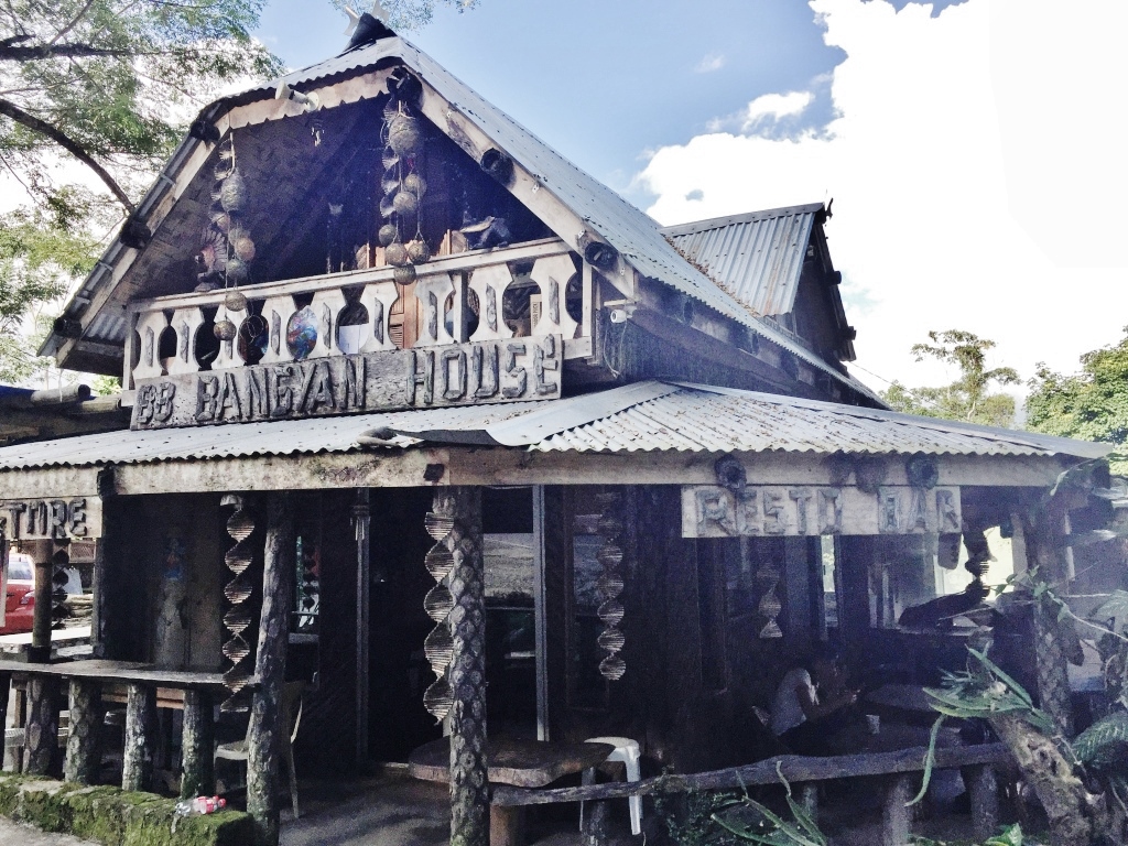
I first chanced chanced upon a beautiful, quaint cafe by the provincial road in Pasil on the way to Lubuagan, Tinglayan and Bontoc. This is Bangyan 88, a cafe/resto where, on the next bend to the right, one starts the journey to Abra.


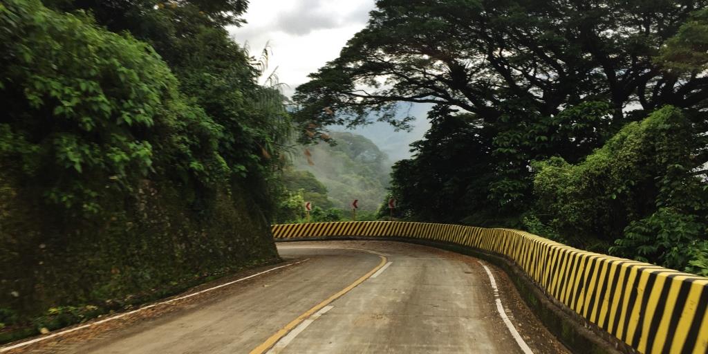
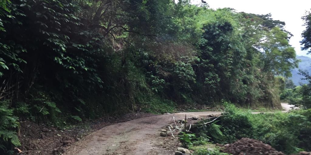
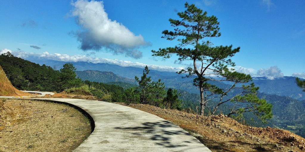
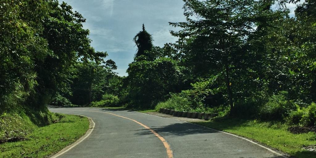
The route starts with this nice, paved road.
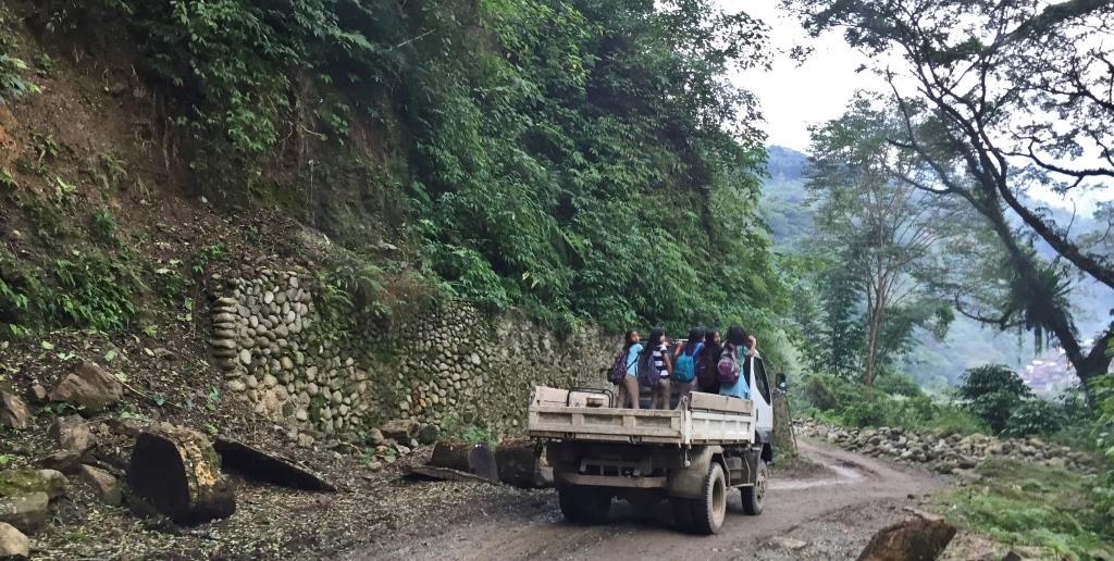
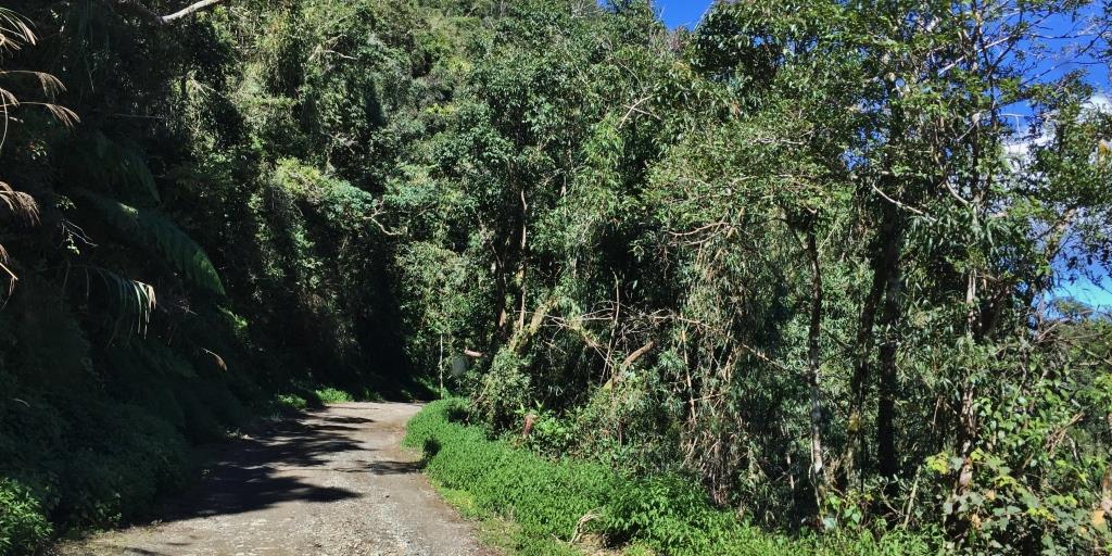
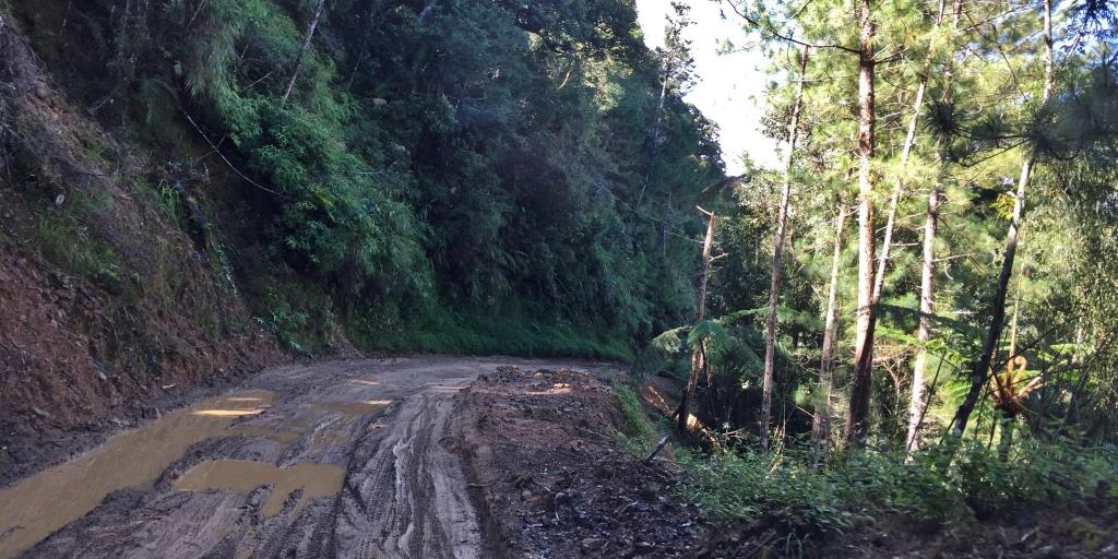
From a nice, paved road, you will probably ask “where has the road gone?” And before me was a truck where locals hitched a ride, as there seems to be no public transportation. There is a little barangay I saw, but before and after that was long stretches of muddy roads.


To be fair, there are concrete roads, too. But they suddenly disappear.
On the way, cloud covered mountains and rice terraces.


Balbalan
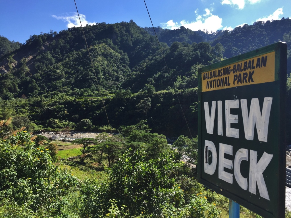
Balbalan is the next town after Pasil. In fact, this was the defined gateway to Abra, The town of Balbalan covers a huge tract of land – – mountains, valleys, rivers, streams and plateaus. In fact, a national park, Balbalasang Balabalan National Park sits on the beautiful mountain called Mt Balbalasang, and is a major draw among adventure travelers. Balbalan is also famous for its rice terraces.


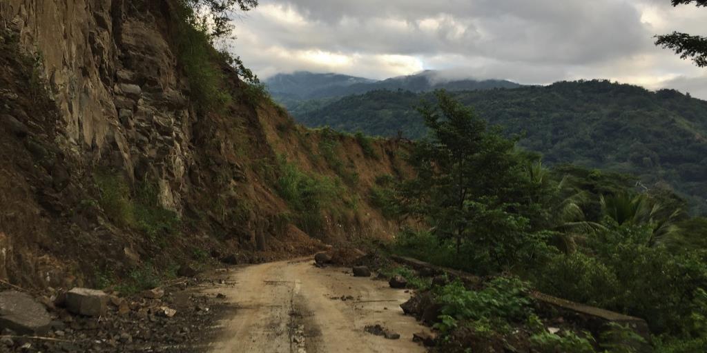
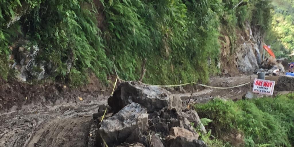
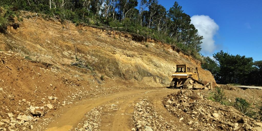
It is in Balbalan where the roads get muddier, narrower, and where landslides on mountainsides become more frequent. A lot of the concreted roads also become unservice-able because the ground underneath has been eroded, making the roads “one way”.


A most scenic part of Balbalan is the Balbalasang area.


Onwards to ABRA
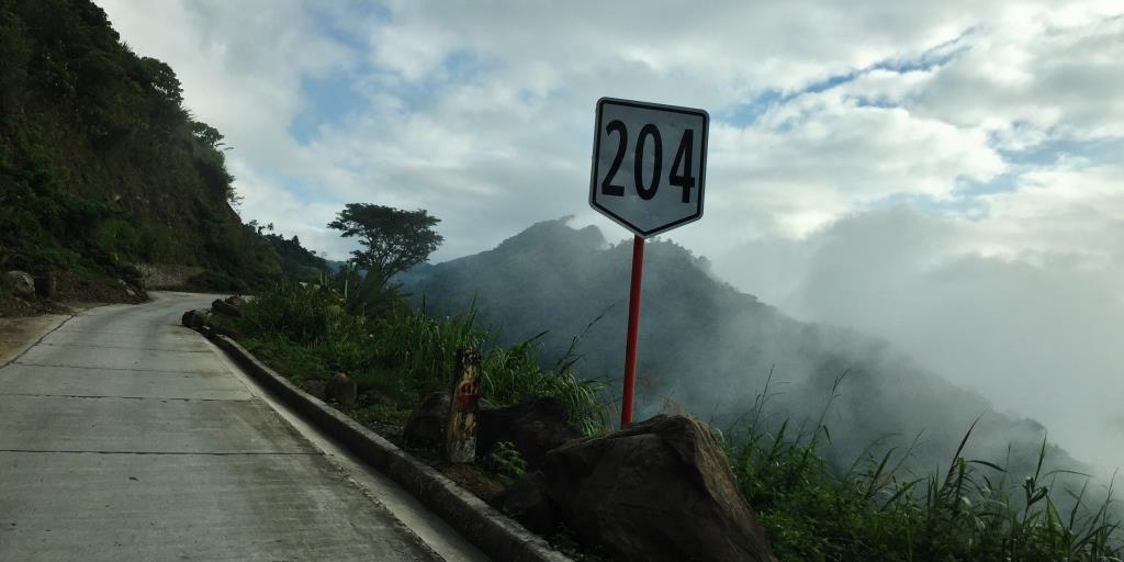
One never know when the roads from Balbalan ends or where it begins to be part of Abra. I kept looking for any signs of the provincial boundary. Nada. Most likely because the roads are in perpetual construction or repair.

There are many stretches of this road. Just half of the road is concrete. And we were constantly praying that no one is on out opposite direction because there was no way we or the other vehicle could move to the sides – – about 10 inches from the ground. Luckily, no one came the opposite way. And that is because no one seems to want to be on this route.


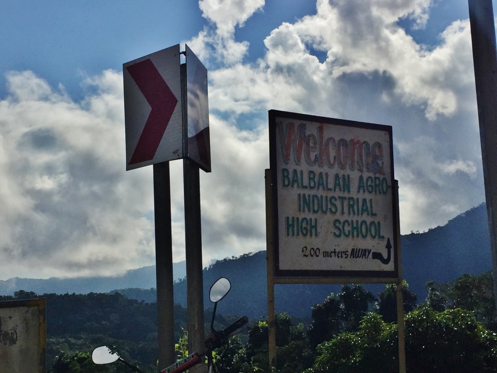
I FINALLY KNEW I WAS IN ABRA.
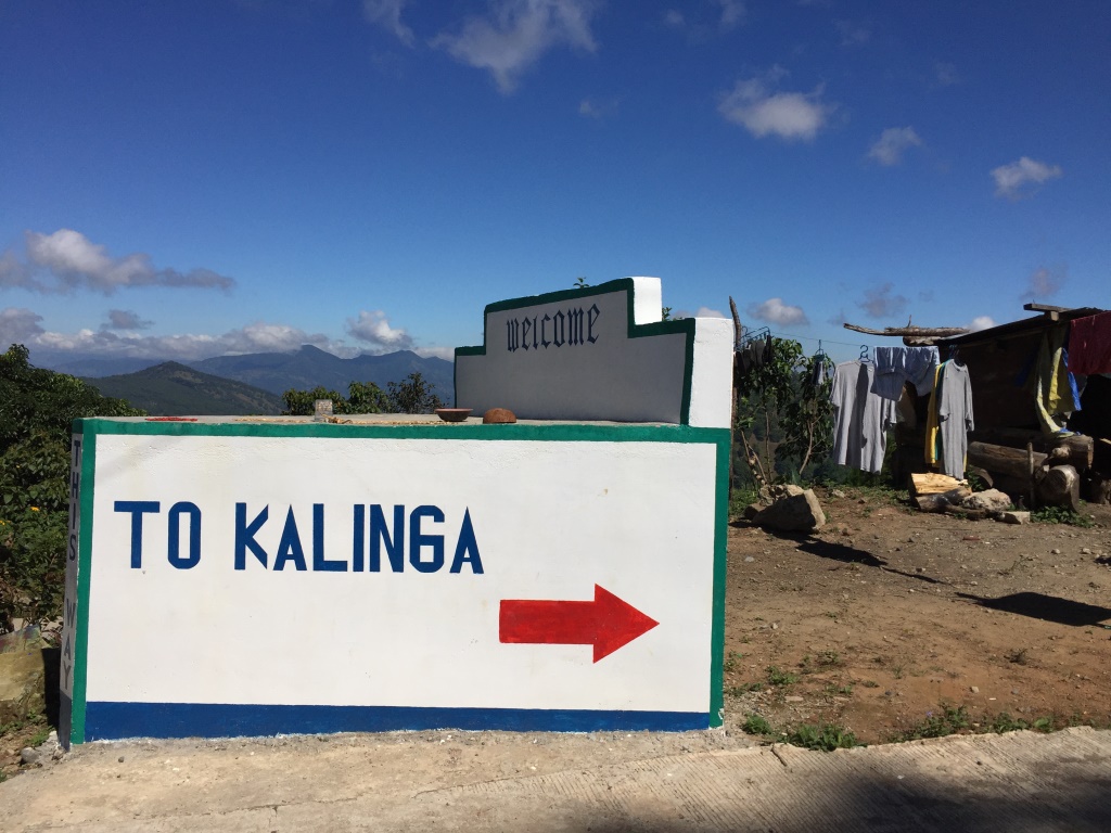
Because there was this “To Kalinga” sign, I knew I was in Abra.

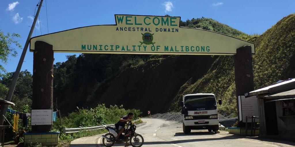
But I was not quite in Bangued yet. I also saw an arc, and when I went past it, knew that the place I just passed was Malibcong in Abra, an area defined as an “ancestral domain”. Interesting.

I felt like I was back in civilization when I hit the next town.


And then I was in Bangued. Total travel time, including stops for photography was nearly 7 hours.
As I told my friends, this is a route I should not have taken. I wasn’t able to photograph a spot where our 4×4 crossed a road that was almost just as wide as the vehicle we were in, and we could have fallen if our wheels moved a few inches away on either side. Visualize this, and it would have been impossible for me to have taken a photo. Once past it, I was just so relieved that I completely forgot to take a snapshot of that road we passed thru, no matter how short.
But then I may be crazy enough to want to try this route again. Especially since I have done it once.

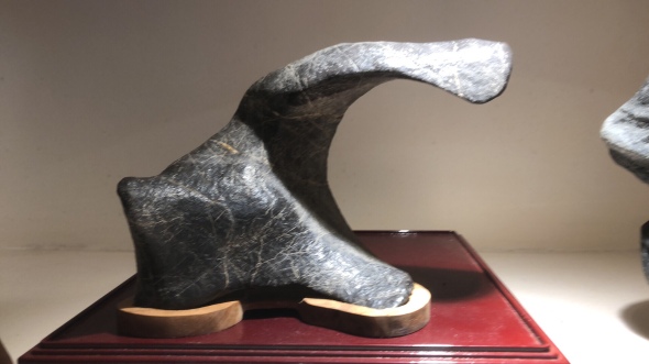
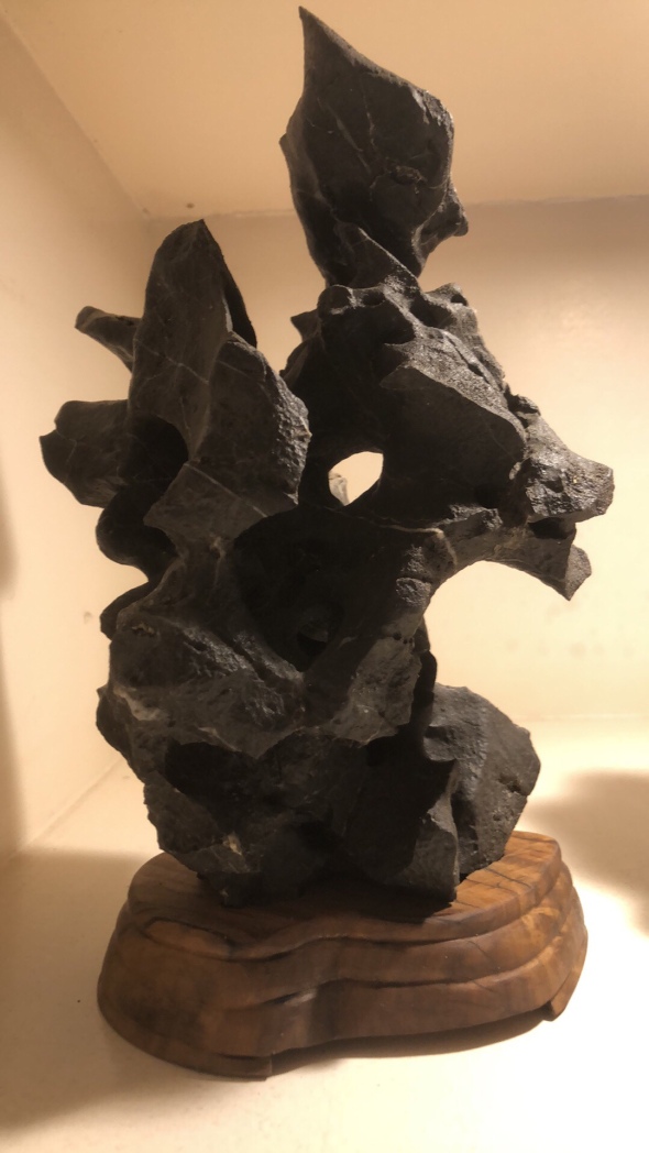
 Dubbed as Sanib Pwersa, the exhibit will feature around 200 bonsai trees from the members of the Philippine Bonsai Society, the country’s premiere and most prestigious bonsai club.
  PBSI is the lead organization, having mounted huge bonsai and suiseki (viewing stones) exhibitions and conventions annually, including exhibits hosted for the international organization called Bonsai Clubs International (BCI), regional conventions for ASPAC and for ABFF, plus national shows every year.
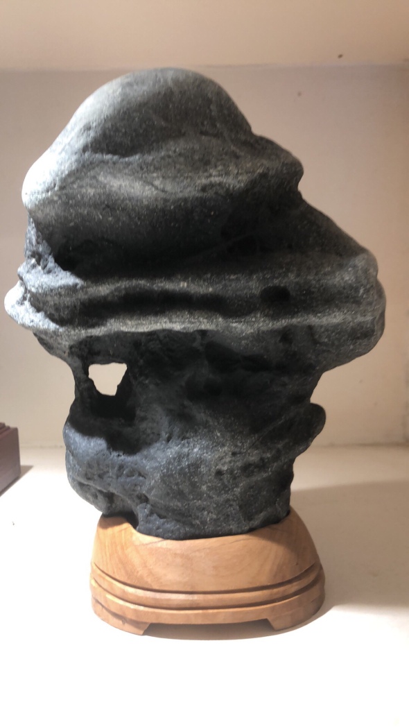
 The exhibit and competition will be judged by an international panel of masters and experts from Taiwan, Japan and the USA.
  Bonsai Master Yen, from Taiwan is one of the judges, alongside another Taiwan master and another master from Japan, Kunio Kobayashi.